
It has been a while since I last wrote about Topoprint back in January, mostly because I have been busy with our company Resilens. Founding a company has been a fun and intense ride. However, I still found some time to continue working on my hobby project - I just haven't written about it. So, here we go with three major updates to report on:
- More dependable prints with roofs,
- detailed terrain and cartographic features all over the world, and
- a new product "Print Your Track", available on the web and for iPhone.
1. Watertight buildings and roofs: more dependable prints 🔗
Since I started this project at the end of 2024, the Python processing pipeline had a flaw with Swiss buildings: the 3D volumes were not completely "watertight", which basically means that the geometry had minor flaws that could result in bad prints. You can use the Online Repair Tools by FormWare, but I wanted to get it right. In the spring, I overhauled the Python processing pipeline. Making buildings watertight required rebuilding roofs as closed solids, separating touching surfaces, and fixing numerical precision errors so the geometry stayed valid through clipping and export to the slicer. Explore this example model in Lucerne with a famous roof.


2. Terrain and vector tiles: richer landscapes worldwide 🔗
So far, Topoprint has focused on Switzerland, because I live there and because Swisstopo, the national mapping agency, publishes building models and high-resolution elevation models as open government data1.
For terrain beyond Switzerland, I now use Mapterhorn, maintained by Oliver Wipfli. It brings together open elevation data from different providers and makes it available at multiple levels of detail. The resolution varies by location, but it gives Topoprint a practical way to create terrain models around the world.
The other part is vector tiles: small pieces of map data containing the geometry of forests, lakes, roads, and buildings. Mapterhorn provides the shape of the landscape; vector tiles add the features that make it recognisable. The processing pipeline turns those features into printable geometry and colour regions, so they become part of the physical model. One caveat, though: we don't have very detailed building models outside of Switzerland.
I have vector data in a PMTiles file that I could use in production. For now, I chose MapTiler to supply the vector tiles: it is more convenient, and I find its schema a bit better suited to these models. Together, these sources let me print landscapes beyond Switzerland with both terrain relief and familiar map features.
The Mount Fuji model shows the two together: Mapterhorn shapes the mountain, while vector tiles add the forests, roads, and water around it. The orange line is the GPX track.


3. Print Your Track: turn a personal route into a physical model 🔗
This leads me to my final and biggest update: I launched a new app called Print Your Track, available on Apple's App Store and on the web. The focus is not on buildings, but on your outdoor adventure: a memorable hike, ride, or run can become a terrain model with your own GPX track on it.
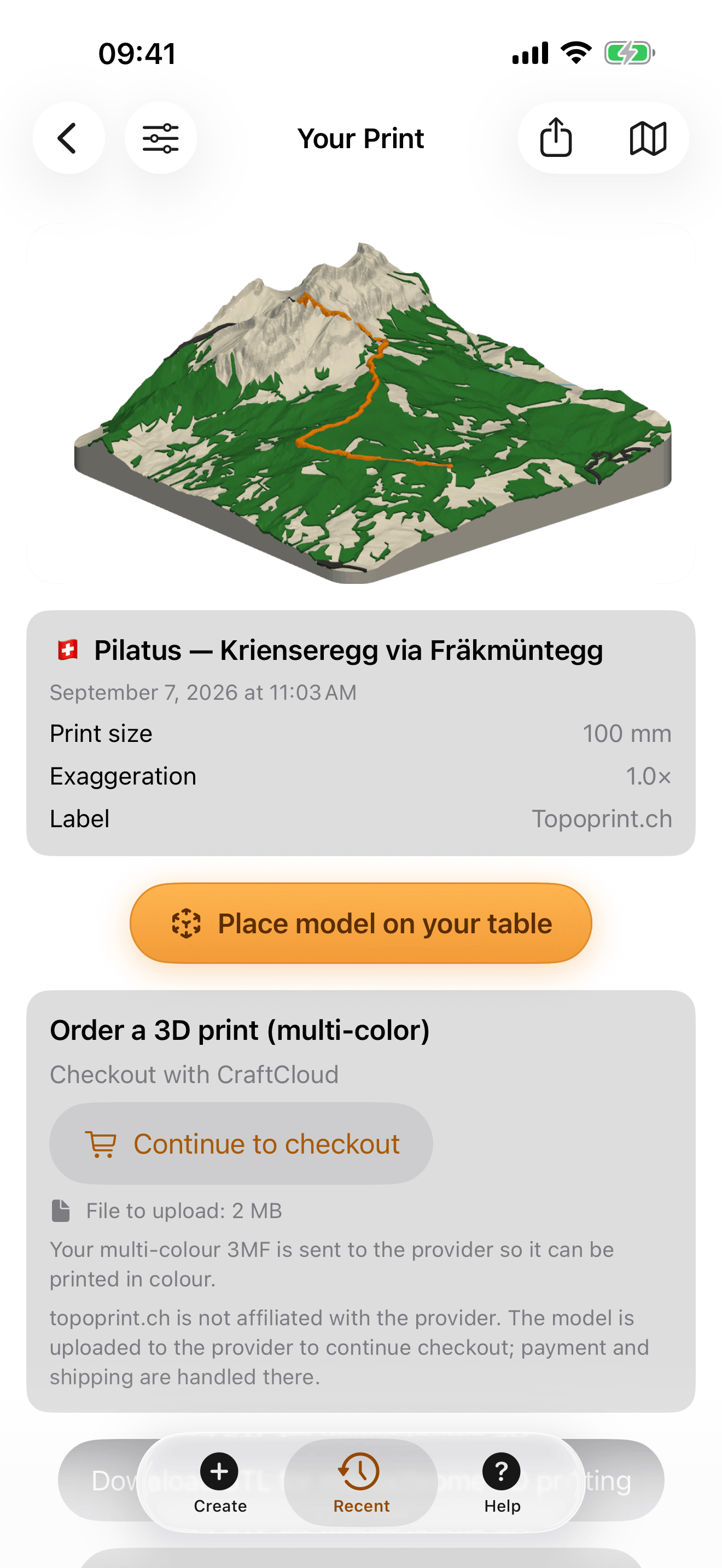
The workflow is as follows: get your GPX track file from an outdoor app like Swisstopo or Strava and upload it to "Print Your Track". Design the model and wait a minute or two for a printable model file. You can print the model yourself or order it from a printing service to receive it by mail.
This works on the web, but it's easier on your iPhone. You can also create or order multicolor prints.
These screenshots show the same Pilatus route in the iPhone app, from setting the print area to the generated model.

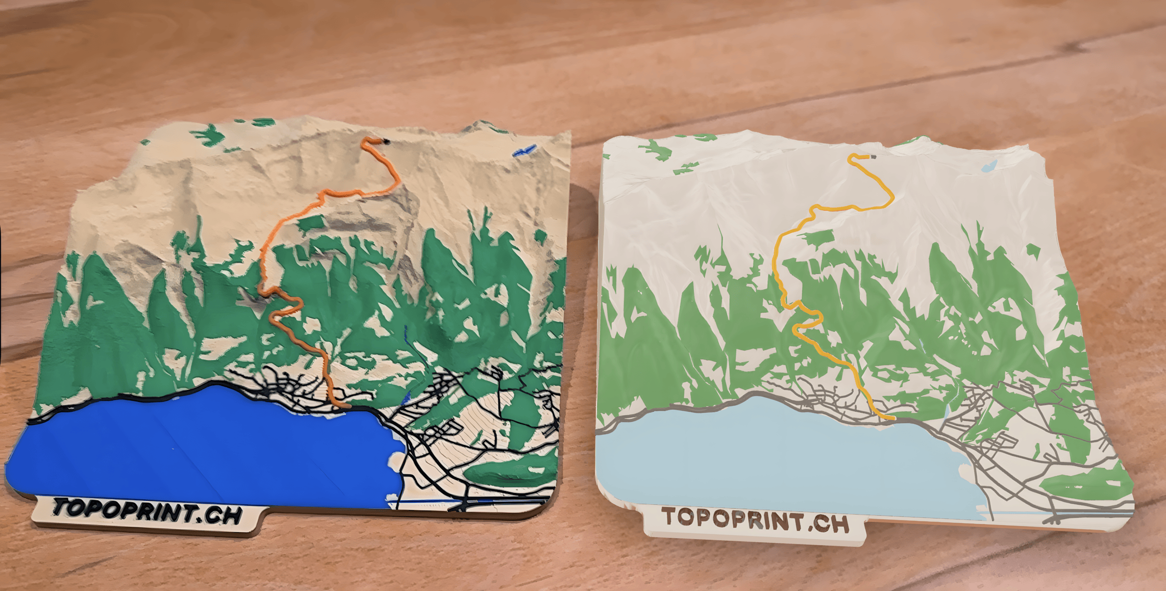
And here are two finished prints, as shown in the title image, you can find more images and example routes on printyourtrack.com.

-
The canton of Zürich publishes its terrain data at 0.25 m resolution. I don't know of any other government agency that provides this level of detail. ↩